↓
 

Atlanta Land Surveying

Your First Choice for a Local Land Surveyor

Atlanta Land Surveying
  • Home
  • ALTA Survey
  • Boundary Surveying
  • Construction Survey
  • Drone LiDAR Mapping
  • Elevation Certificate
  • Land Surveying
  • Topographic Survey
  • Blog
  • Contact Us
Home 1 2 3 … 10 11 >>

Post navigation

← Older posts

Welcome to Atlanta Land Surveying

Atlanta Land Surveying Posted on November 18, 2017 by AtlantaSurveyorFebruary 20, 2018

Welcome to Atlanta Land Surveying

This site is intended to provide you with information on Land Surveying in the Atlanta, GA, Fulton County, or DeKalb County areas of Georgia. If you’re looking for a Atlanta Land Surveyor, you’ve come to the right place. If you’d rather talk to someone about your land surveying needs, please call our local number at ​(404) 998-4474 today. For more information, please continue to read.

atlanta land surveyingLand Surveyors are professionals who make precise measurements to determine the size and boundaries of a piece of real estate.  While this is a simplistic definition, boundary surveying is one of the most common types of surveying related to home and land owners. If you fall into the following categories, please click on the appropriate link for more information on that subject:

Atlanta Land Surveying services:

    1. I need to know where my property corners or property lines are. (Boundary Survey)
    2. I have a loan closing or re-finance coming up on my home in a subdivision. (Lot Survey)
    3. I need a map of my property with contour lines to show elevation differences for my architect or engineer. (Topo Survey)
    4. I’ve just been told I’m in a flood zone or I’ve been told I need an elevation certificate in order to obtain flood insurance or prove I don’t need it. (Flood Survey)
    5. I’m purchasing a lot/house in a recorded subdivision. (Lot Survey – See Boundary Survey)
    6. I’m purchasing a larger tract of land, acreage, that hasn’t been subdivided in the past. (Boundary Survey)

To speak to a land surveyor, please call ​(404) 998-4474 or fill out our contact form to the right.

Posted in construction, flood damage, land surveying, land surveyor | Tagged Atlanta Land Surveying, land surveyor

How a Topographic Survey Helps Control Earthwork Costs

Atlanta Land Surveying Posted on July 3, 2026 by AtlantaSurveyorJuly 1, 2026
Heavy machinery performing earthwork grading and soil leveling on a construction site with excavators and dump trucks shaping the terrain.

Most people think earthwork starts when trucks and digging machines roll onto the property. In reality, the work begins much earlier, during the planning stage. A topographic survey gives a clear picture of the land’s shape, slopes, and natural features. This information lets teams make smart choices before any dirt gets moved. It acts as a base reference that helps you set realistic budgets and avoid unexpected expenses later in the process.

Without this detailed view, you have to guess how much work and material the site will need. Those guesses often lead to extra spending and delays that could have been avoided.

Earthwork Begins Long Before Excavators Arrive on Site

Preparation for moving earth starts while designers and planners are still drawing up plans. They need to know exactly how high or low the ground sits in different spots, and where natural changes in elevation exist. A topographic survey collects all these details into one clear record. This data lets everyone understand the true shape of the land before final plans are set.

With this information, teams can decide how much shaping and leveling the site will require. They can also see how existing features like slopes, depressions, or high spots will affect future work. This early knowledge turns vague ideas into solid plans, so you know what to expect before bringing in heavy machinery.

Planning Material Movement Instead of Simply Moving Dirt

Moving earth is more than just digging holes and piling soil somewhere else. It is about organizing how materials shift across the site. Contractors use survey details to match areas that need digging with areas that need filling. This process keeps extra dirt from being hauled away and reduces the need to bring in new soil from outside sources.

They also map out the best routes for trucks and machines to travel. This cuts down on long trips and makes the whole process flow better. When you plan this way, you handle materials in the most direct manner possible. You can use terrain mapping data to create a clear movement strategy that keeps work efficient and expenses low.

Preventing Equipment Downtime Through Better Site Planning

Heavy machinery costs money every minute it runs, and even more when it sits idle. A topographic survey shows exactly where slopes, soft ground, or obstacles lie. This lets teams decide the best spots to place equipment and stage materials before work starts. They can also plan the order of digging and moving earth so one step leads smoothly into the next.

When crews know the land well, they do not waste time repositioning machines or finding new paths around unexpected issues. Fuel use drops, and each piece of equipment stays active when it should. This careful planning turns time saved into real savings on the overall project budget. You can rely on site logistics planning to keep operations moving without unnecessary stops.

Using Topographic Survey Data to Improve Quantity Estimates

One of the biggest causes of budget overruns is guessing wrong about how much earth to move. With survey details, estimators can calculate exact volumes of soil that need to be removed or added. These numbers become the foundation for accurate bids, fair pricing, and realistic timelines.

When everyone works from the same verified measurements, there is less room for error. Contractors know exactly how many trucks, workers, and days of work to include in their plans. This reduces the chance of asking for more money later because of missing information. Good estimates also make it easier to compare proposals from different teams and choose the most reliable option.

Why Efficient Earthwork Planning Supports the Entire Construction Schedule

Earthwork sets the stage for everything that comes after it. If this part of the project runs smoothly, every following step moves faster. Properly shaped ground makes it easier to lay pipes, build foundations, pour concrete, and add landscaping. When the base is ready and level, other trades can follow their own schedules without waiting for site adjustments.

A topographic survey helps you get this first phase right. It turns the land from an unknown space into a mapped resource. This clarity supports steady progress, keeps costs predictable, and helps the whole project stay on track from start to finish.

Frequently Asked Questions

How does a Topographic Survey improve earthwork quantity estimates before construction?

It provides exact measurements of elevation and surface shape. Teams use these figures to calculate precise volumes of soil that need to be moved or added. This leads to more accurate cost projections and reduces surprises later.

Can Topographic Survey data help balance cut-and-fill material across a project site?

Yes. It shows which areas are too high and which are too low. Contractors can move soil from one place to another instead of bringing in new material or hauling away excess. This lowers transport and supply costs.

Why do contractors use Topographic Surveys when planning excavation logistics?

It reveals slopes, low spots, and natural barriers. This information helps them choose safe access routes, place equipment properly, and arrange work in the most logical order. It keeps operations organized and safe.

Can a Topographic Survey reduce equipment travel and fuel costs during earthwork?

Absolutely. When you know the land layout, you plan shorter and clearer paths for trucks and machines. Less time spent moving around means less fuel used and less wear and tear on equipment.

How does Topographic Survey information support construction bidding and cost estimating?

It gives estimators reliable numbers to work with. Bids based on real site data are more accurate and less likely to require changes later. This helps both owners and contractors set fair and realistic budgets.

What project types benefit most from Topographic Surveys for large-scale earthwork planning?

Projects with uneven ground, steep slopes, or wide areas gain the most. This includes commercial developments, road construction, housing subdivisions, and industrial sites where moving large amounts of earth is a major part of the work.

Posted in topographic survey | Tagged topographic survey

ALTA Survey Questions Every Commercial Investor Should Ask

Atlanta Land Surveying Posted on July 2, 2026 by AtlantaSurveyorJuly 1, 2026
Team of professionals reviewing ALTA survey plans on a table during a commercial property planning meeting for investment and site analysis decisions.

When you buy commercial property, you look at price, location, and income potential first. You also need to look closely at facts that do not show up in sales brochures. An ALTA survey gives you a clear picture of the land and its features, and it serves as a key tool to help you decide if the property fits your goals. It is not just a paper to file away after closing. Instead, it acts as a reliable reference that guides your choices today and for years ahead.

Many investors skip deep review because they assume the document only confirms what they already know. But reading it carefully helps you spot details that change how you view the value and use of the land.

Is This Property Still the Right Investment After Reviewing the ALTA Survey?

Numbers and financial forecasts tell one part of the story. The physical layout and limits of the property tell another. Once you go through the ALTA survey, you can compare what you thought you were buying against what actually exists on the ground. This check helps you confirm if the space can support your plans, whether you want to rent it out, make changes, or hold it for future growth.

You might find that available space is smaller than you expected, or that certain areas come with limits on how you can use them. These details do not always mean the deal is bad. They simply give you a more accurate view of what you own. With this information, you can adjust your expectations and decide if the property still matches your original investment goals.

Which Members of My Professional Team Should Review the ALTA Survey?

No single person sees every angle of a commercial property. Each expert on your team brings a different focus and set of concerns. An attorney looks for rights or restrictions that affect ownership. An engineer checks how land shape and features support construction or repairs. An architect sees how existing conditions shape future design ideas.

Lenders and insurance providers use the same details to assess risk and set terms. Property managers look for points that affect daily use and maintenance. Getting all these eyes on the same document helps you build a complete understanding. You can use property data review to make sure no important detail goes unnoticed and every decision rests on shared facts.

What Future Business Plans Could Be Influenced by the ALTA Survey?

Investments change over time. You may start with one plan, but later decide to expand, upgrade, or shift how you use the space. The ALTA survey provides the base information you need to see if those changes are possible. It shows you exactly how much open space you have, where structures sit, and what boundaries or conditions apply.

If you want to add more parking, build an extra wing, or rearrange outdoor areas, you can check the survey first. It helps you spot limits before you spend time or money on ideas that will not work. This document also supports better leasing choices. You can tell potential tenants exactly what space is available and what they can do with it.

Which Findings Deserve Immediate Attention and Which Can Be Planned for Later?

Not every detail in the survey requires action right away. Some points need quick attention, while others work better as part of a longer schedule. You can sort information into two groups:

  • Items that affect current use, safety, or legal compliance
  • Details that relate to future changes, upgrades, or growth plans

This approach keeps you from getting overwhelmed by too many tasks at once. You address the most pressing matters first and set clear timelines for the rest. This way, you protect your investment without overspending early on. You can rely on site condition analysis to organize your priorities and keep your budget under control.

Turning ALTA Survey Information Into a Long-Term Asset Strategy

The value of the ALTA survey does not end when the sale closes. It becomes a permanent record that supports every major decision you make in the years that follow. When you refinance, you can show lenders clear details about the property. When you plan renovations or expansions, you start from accurate measurements and boundaries. When it is time to sell, you can provide verified facts to new buyers.

Keeping this document updated also helps you manage a portfolio of properties. It gives you a consistent way to compare assets and decide where to invest next. Over time, this information becomes part of your strategy to protect and grow the value of your holdings. It turns a one-time report into a useful resource that works for you through every stage of ownership.

Frequently Asked Questions

What questions should commercial investors ask after receiving an ALTA Survey?

You should ask if the property matches your original goals, if there are limits on how you can use the space, and if the details support future plans. You also want to confirm how findings affect costs, risk, and long-term value.

Can an ALTA Survey influence long-term investment planning after a property purchase?

Yes. It provides a fixed reference of the land and its features. This helps you plan expansions, improvements, or changes in use without guessing about boundaries or existing conditions.

Which professionals should review an ALTA Survey before major commercial decisions are made?

Attorneys, engineers, architects, lenders, insurance advisors, and property managers all bring useful perspectives. Each one looks at the document through their own area of expertise.

How can an ALTA Survey support commercial property portfolio management?

It creates a clear, verified record for each property. This makes it easier to compare assets, update plans, and keep accurate files for financing, reporting, or future sales.

Should an ALTA Survey be referenced before renovating or expanding an investment property?

Absolutely. It shows you exactly where lines sit and what features exist. This prevents you from designing changes that do not fit or that cross into restricted areas.

How often should commercial investors update an ALTA Survey during long-term property ownership?

You should update it before making major changes, refinancing, or selling. If the area changes or records get revised, a new survey ensures you always work with current information.

Posted in alta survey | Tagged alta surveys

Why Commercial Developers Rely on ALTA Surveys Before Breaking Ground

Atlanta Land Surveying Posted on July 1, 2026 by AtlantaSurveyorJuly 1, 2026
Two construction professionals reviewing a blueprint on a dirt site during early-stage ALTA survey planning for commercial development.

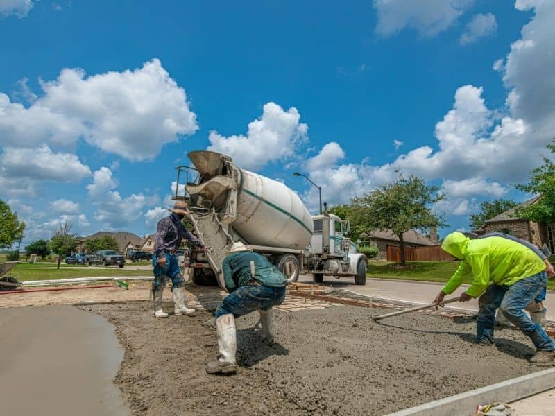
Buying a piece of land is just the first step in turning it into a successful commercial project. After the sale closes, developers face a long list of tasks from design to final construction. An ALTA survey becomes a trusted guide during this transition, giving clear details that shape every decision ahead. It moves beyond simple property lines and provides the kind of reliable information needed to plan, build, and manage a site well into the future.

Without this complete picture, teams often work from guesses or outdated records, which creates problems later. Having accurate data right from the start sets the stage for smoother progress and fewer surprises.

The Shift From Property Ownership to Project Execution

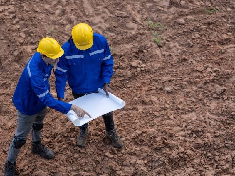
Once a developer owns the land, the focus changes quickly. The goal moves from confirming ownership to figuring out how to use the space effectively. This means preparing for design work, securing permits, arranging financing, and setting up construction schedules. Each of these steps depends on knowing exactly what exists on the site and what rules apply to it.

An ALTA survey acts as a bridge between buying the property and building on it. It gives details that standard maps or old records do not show. This information helps teams understand the true size and shape of the land, as well as how it fits into the surrounding area. It turns general ideas about the property into clear facts that guide every part of the next phase.

Bringing Every Consultant Onto the Same Page Before Design Begins

Commercial projects rely on many different experts working together. Architects create layouts for buildings and spaces. Civil engineers plan roads, drainage, and utilities. Landscape designers shape outdoor areas. Planners make sure everything follows local rules. All of these professionals need to work from the same set of facts.

When everyone uses the same verified site information, confusion drops and progress speeds up. There is no need to guess where lines run or what features exist. This shared reference removes disagreements and keeps plans aligned. You can use commercial site reference data to make sure every consultant starts from the same foundation and builds toward the same goal.

Preventing Design Revisions Before Construction Documents Are Finalized

Changing plans after drawings are finished costs time and money. It often means redoing calculations, adjusting layouts, and resubmitting documents for approval. Many of these changes happen because teams did not have full details about the site early enough.

An ALTA survey reveals actual conditions before final designs are locked in. It shows existing structures, elevation changes, and any limits that affect where and how you can build. When designers know these details upfront, they create plans that fit the real site instead of an idealized version. This reduces the need to rewrite or redraw work later, keeping the project moving forward without unnecessary delays.

Creating a Smarter Roadmap for Phased Commercial Development

Large commercial projects rarely get built all at once. Developers often split work into stages to match budgets, market demand, or business growth. This could mean building one section first, then adding parking, more buildings, or extra utilities years later.

An ALTA survey lays out the full picture of the entire property from the start. It marks available space, access points, and locations where future work can fit. This makes it easier to plan each phase without disrupting what is already finished. It also helps avoid conflicts between current and future construction. You can rely on phased development mapping to plan ahead and make sure every new addition fits the original vision.

Why Strong Pre-Construction Planning Leads to More Predictable Projects

Developers aim for results they can count on. They want to know when work will finish, how much it will cost, and what quality to expect. Good planning depends on having accurate information, and an ALTA survey provides exactly that.

It supports faster reviews by permitting agencies, clearer communication between teams, and more realistic budgets. It also reduces the risk of running into unknown conditions once digging and building begin. When you invest in clear site details early, you build a stronger foundation for the whole project. This approach turns uncertainty into confidence and helps deliver results that match the original plan.

Frequently Asked Questions

Why do commercial developers request an ALTA Survey before starting the design phase?

It provides complete and verified details about the property. This information guides layout choices, ensures compliance with local rules, and helps teams create plans that work with the actual site conditions.

Can an ALTA Survey improve coordination between architects and civil engineers?

Yes. It gives both teams the same accurate base map and measurements. This means they design parts of the project that fit together properly, reducing conflicts and rework later in the process.

How does an ALTA Survey support phased commercial development projects?

It maps the entire property at the start. Developers can see where future buildings, parking, or utilities will go. This allows them to plan each stage so later work connects smoothly with what is already built.

Should an ALTA Survey be updated before beginning a new phase of an existing development?

It is a good idea. Over time, conditions on the ground or public records may change. An updated survey confirms the current layout and boundaries, so new plans remain accurate and compliant.

How does an ALTA Survey contribute to pre-construction planning for commercial projects?

It gives a clear view of the land, existing features, and any limits that apply. This helps developers set realistic timelines, create accurate budgets, and avoid costly changes once construction begins.

Can an ALTA Survey help reduce design revisions before construction begins?

Absolutely. When designers have exact information about the site, they create plans that fit the real conditions. This removes the need to adjust drawings later because of unknown or incorrect details.

Posted in alta survey | Tagged alta survey

Post navigation

← Older posts
Get Quote Button
© Boxer Survey USA
Atlanta Land Surveying

Atlanta, GA
Phone: (404) 998-4474

Web Development and SEO by:
AuburnBusiness.com, LLC


Privacy Policy | Terms of Use

The owner of this website, Boxer Survey USA, provides coordination of professional land surveying and engineering services in all 50 states. The professional surveying and engineering services provided to you will be conducted by fully licensed professionals in your state.

&nbsp
↑